

Before
After
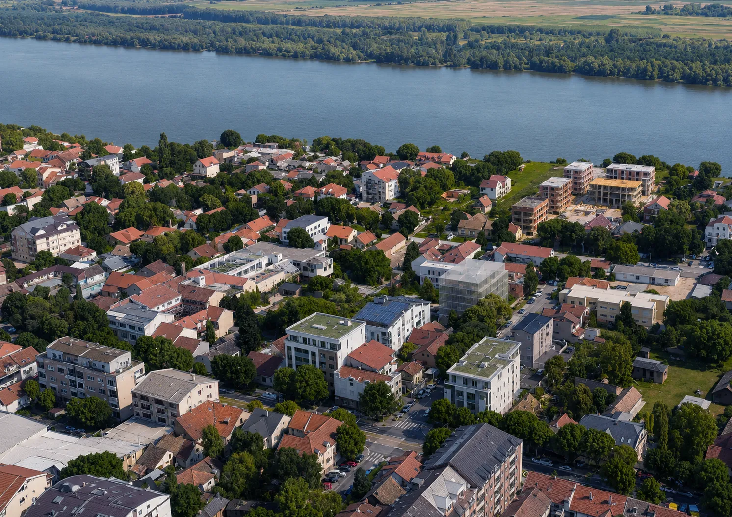

.svg)






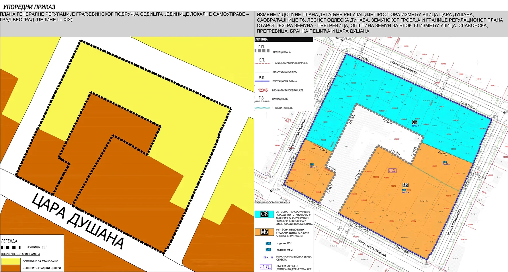
The area covered by the Plan boundary comprises the block enclosed by Slavonska Street, Pregrevica Street, Branka Pešića Street, and Cara Dušana Street in Zemun. Within the scope of the Plan there are existing buildings intended for single-family and multi-family housing, with building heights ranging from ground floor only (GF) to ground floor plus four floors and a recessed top floor (GF+4+RF). The objectives of the planning document are the detailed elaboration of the area in accordance with the planning framework, the coordination of existing and planned land uses, and the spatial and functional integration of the area into the surrounding urban fabric. The Plan provides for areas designated for other purposes, namely residential areas and mixed-use urban centers. Along Pregrevica Street, as well as parts of Branka Pešića Street and Slavonska Street, the S6 zone is designated as a transformation zone of single-family housing in partially formed blocks into multi-family housing, with a maximum cornice height of 12 m. Along Cara Dušana Street, as well as parts of Branka Pešića Street and Slavonska Street, the M5 zone is designated as a mixed-use urban center zone of medium-rise development, with maximum cornice heights of 17 m in subzone M5.1 and 19 m in subzone M5.2. Within the S6 zone, the construction of semi-detached and terraced buildings is permitted. Within the M5 zone, the construction of detached, semi-detached, and terraced buildings is permitted. The M5 zone includes a planned branch facility of a preschool institution.

An integral part of the Plan is also an Analysis of the existing and planned capacities of the educational facilities network. The analysis provides an overview of the capacities of the existing educational network, as well as the capacities defined by the General Regulation Plan. The subject of the analysis includes existing and planned primary and secondary schools within a radius of 2 km (equivalent to a 20-minute walking isochrone). Within the defined radius, the following educational facilities were identified: 15 preschool institutions, 9 primary schools, 4 planned primary schools (according to the General Regulation Plan), and 7 secondary schools. The projected number of residents, and consequently children, within the Plan area does not exceed the capacities of the existing and planned educational facility network. Therefore, no additional land is designated for primary or secondary schools within the Plan area.