

Before
After

.svg)






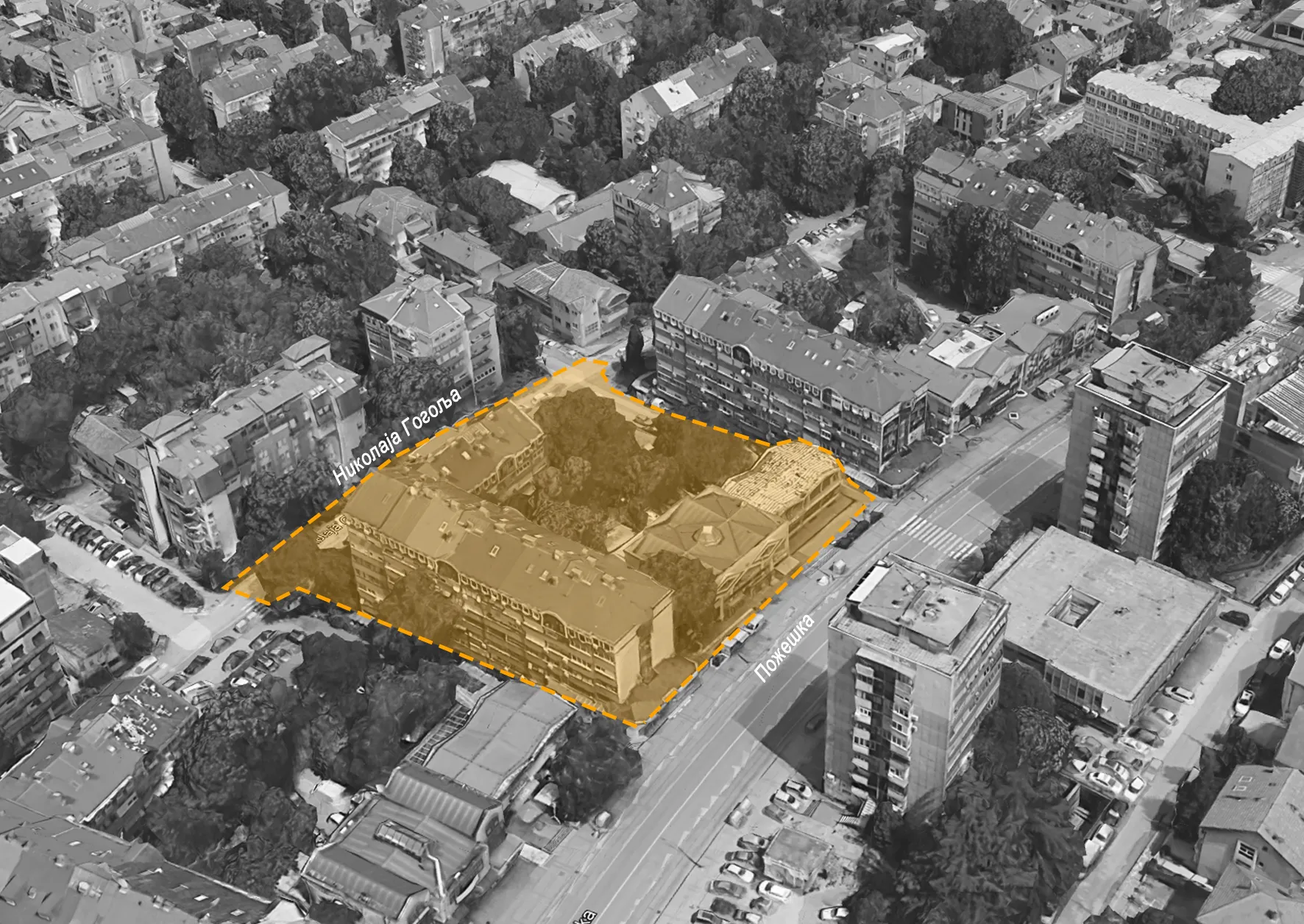
The planning document covers an existing urban block along Požeška Street in the Banovo Brdo neighbourhood, comprising residential and commercial areas, as well as a section of Nikolaja Gogolja Street. The immediate surroundings are characterised by a mix of residential and commercial uses along Požeška Street, one of the main traffic corridors and central urban streets in this part of the city. Although the General Regulation Plan designates the entire block as a mixed-use urban centre zone, the proposed plan retains the existing residential buildings, as well as one of the existing commercial buildings, while the site of the other is designated for mixed-use development. The area is further developed through the formation of an open urban block with clearly defined public green spaces and circulation areas, while recognising existing pedestrian routes and parking needs within the block. Building plots are organised with access from the secondary street network, while the proposed building along Požeška Street is designed to align spatially and in height with the existing mixed-use buildings along the street frontage.

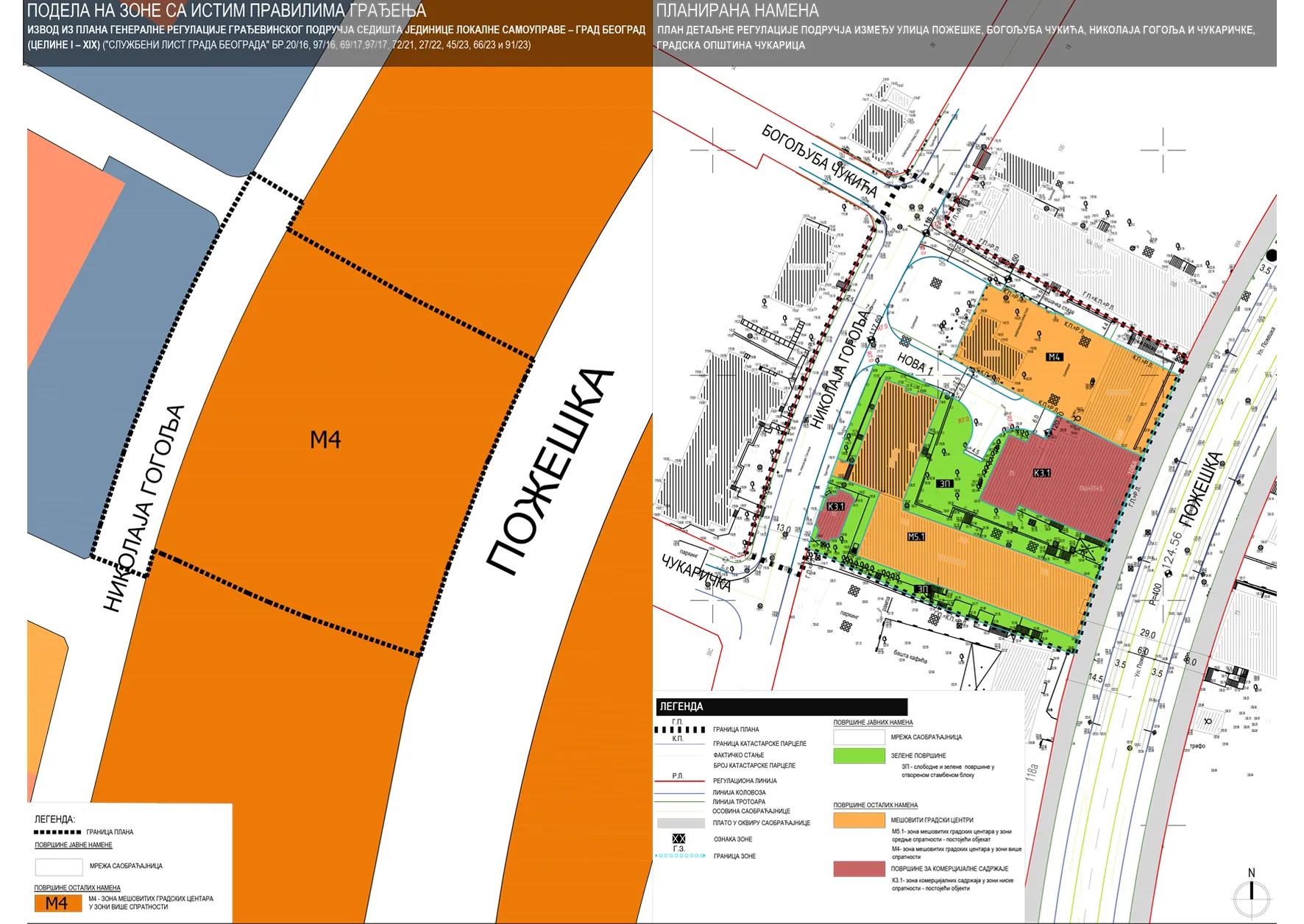
The spatial and height integration of the proposed building with the existing mixed-use buildings along the Požeška Street frontage represents an important aspect of the planning proposal. The proposed development zone was assessed through a series of spatial and volumetric analyses and alternative design scenarios, with the aim of integrating the new development into the existing structure and character of the block. The position, height and volume of the proposed building were analysed in relation to the neighbouring buildings, the existing built fabric along Požeška Street and the interior of the block. Particular attention was given to the continuity and height alignment of the street frontage, as well as to the relationship between the proposed development, existing buildings and open spaces within the block. The diagrams illustrate the process of testing alternative solutions that informed the final spatial and height parameters of the proposed development zone.